
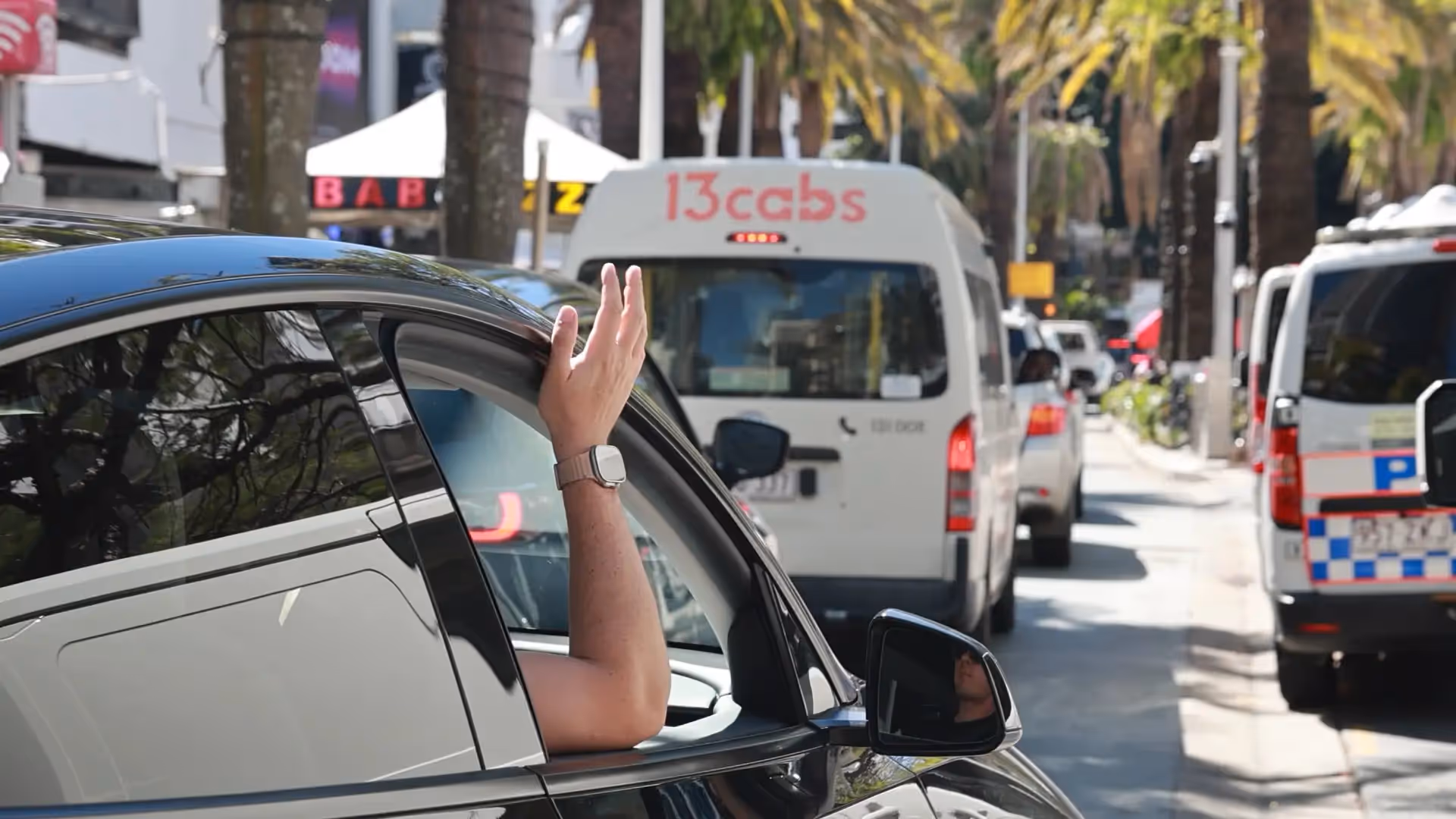
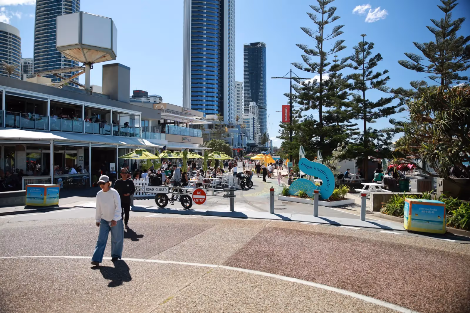
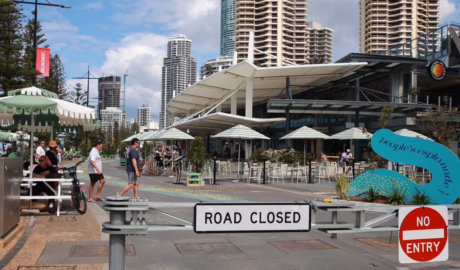
Esplanade Road Closure
Selling Peace and Quiet in Surfers Paradise
It is not just any street. The Esplanade is the defining edge of the city — the line where the tallest towers, densest apartment living, and most sought-after real estate meets the open foreshore.
From the earliest days of high-rise development, the prime towers gravitated to this road because of its unmatched views and direct access to the beach. The result is that the Esplanade became the service spine for the city’s most valuable land and its most concentrated residential population.
A road that built the skyline
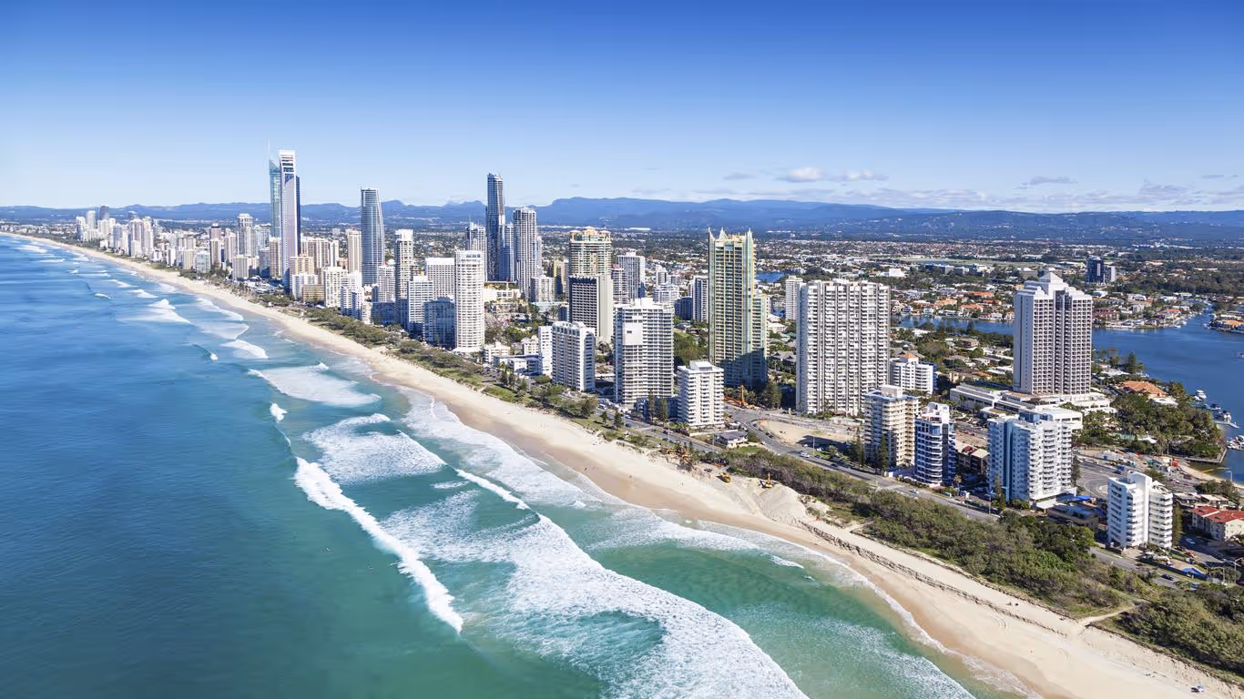
The modern identity of Surfers Paradise was forged in the 1960s and 70s, when developers began to build Australia’s first generation of high-rise towers. The most prized locations had the Esplanade as their front door. The reason was obvious: it offered uninterrupted views eastward over the Pacific, and direct proximity to the beach. From there, the city’s famous vertical skyline expanded block by block, but its foundation remained anchored to the Esplanade.
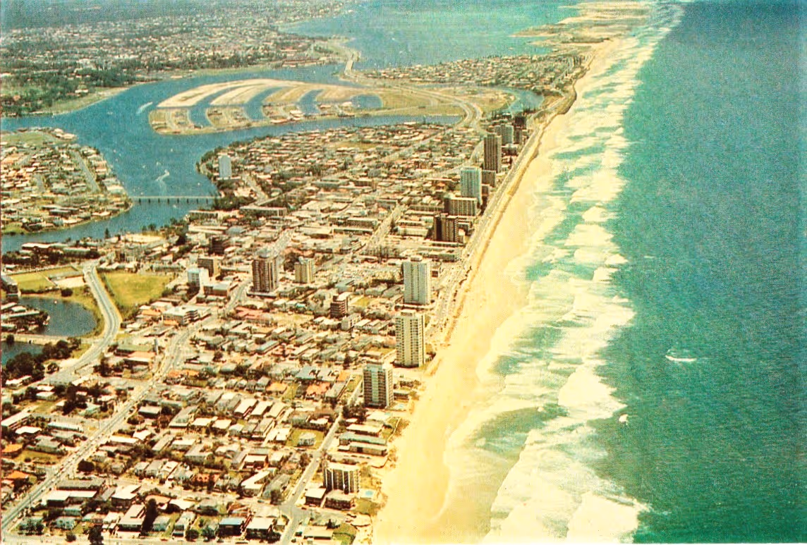
This wasn’t an accident. In city-building terms, the Esplanade became what urbanist Kevin Lynch would call a primary path — a street that shapes the way the city is experienced, valued and remembered. Once that pattern was set, it locked in circulation flows, density, and economic dependency around this spine. That dependency remains today.
Why malling it undermines the city
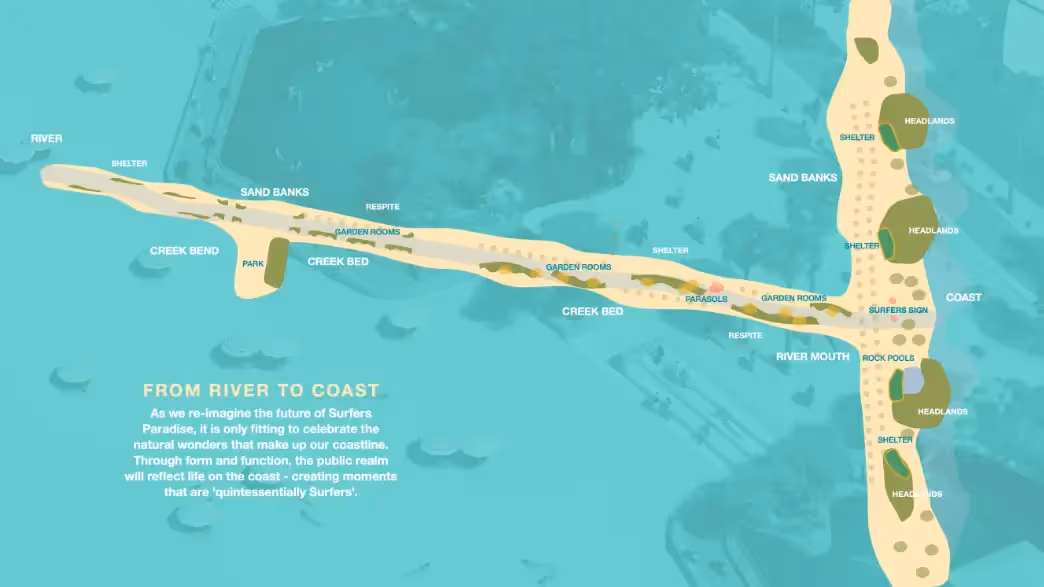
This is what makes proposals to “mall” the Esplanade — to extend Cavill Mall across it in the name of creating a “seamless connection to the beach” — so damaging. The visual appeal is undeniable on a sketch. But cities don’t live on sketches. They live on flows of people, goods, and services. And cutting the Esplanade severs the structural artery that those flows depend upon.
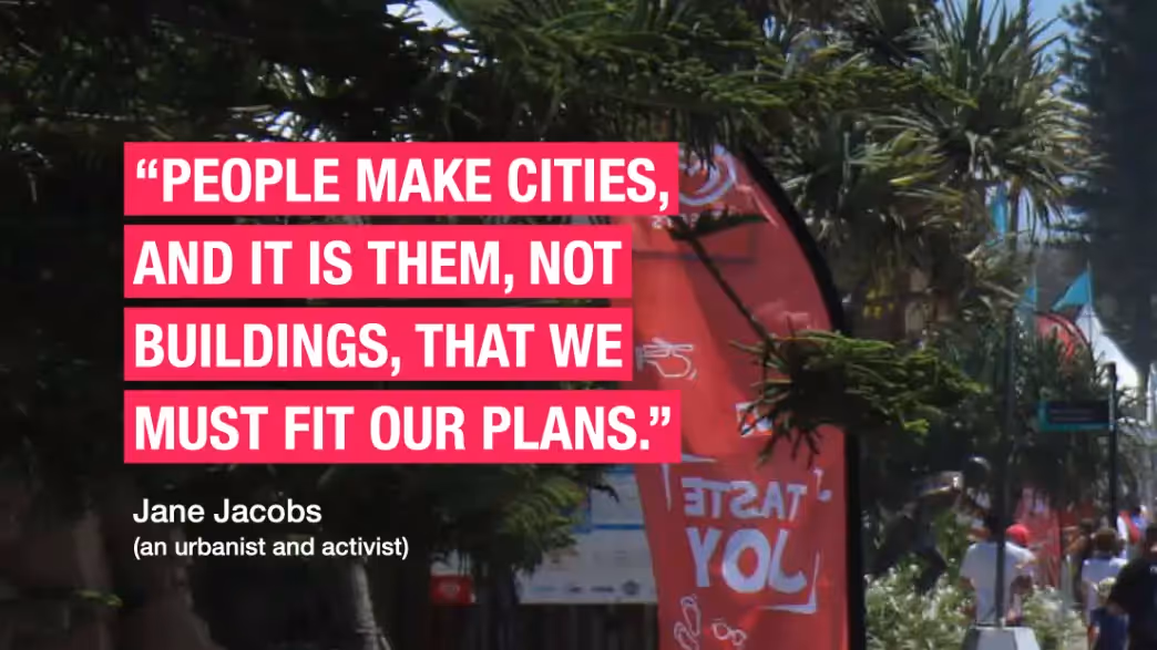
Even the Council itself quotes Jane Jacobs: “People make cities, and it is them, not buildings, that we must fit our plans.” Yet Jacobs’ work was never about imposing abstract visions. It was about respecting the patterns of daily life, the organic flows of streets, and the ways people actually use cities. Malling the Esplanade does the opposite. It ignores how residents, workers, and visitors rely on this circulation route every day. It prioritises an aesthetic sketch over lived experience.
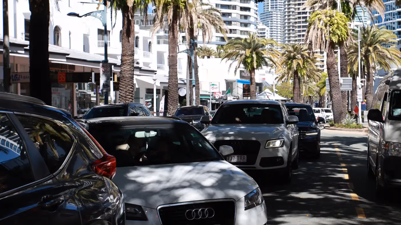
The Esplanade is not simply a boundary between the commercial strip and the beachfront. It is the circulation route that sustains both. Remove it, and you don’t just blur functions — you create a barrier. North and south Surfers are split. Traffic collapses into gridlock. Residents pay with lost time and higher costs. Tourists lose the very ease of movement, chilled out vibe and access they came here to enjoy.
The wrong playbook

The Council likes to point to overseas precedents such as Strøget in Copenhagen or Times Square in New York as proof that pedestrianisation “works.” But these examples are landlocked. They are not coastal cities where a beachfront boulevard carries the daily circulation load of residents and visitors alike. They operate on a completely different urban model.
The right comparisons are coastal cities like Miami Beach, Honolulu’s Waikīkī, or Rio’s Copacabana — where beachfront boulevards are not closed, but celebrated as essential arteries that sustain tourism, access and local life. These cities understood that their beachfront roads are not expendable; they are the very backbone that makes the coastal economy function.
If anything, the better international comparison is Miami. There, Ocean Drive — one of the world’s most famous beachfront boulevards — trialled a one-way shared street model. It’s mixed success failed after five years and now Miami has restored Ocean Drive to two-way vehicle traffic, after business took the council to court.
In Surfers Paradise, the opposite is being proposed. We were promised Times Square, but what we’ve been given is New York gridlock.
Making fun hard work
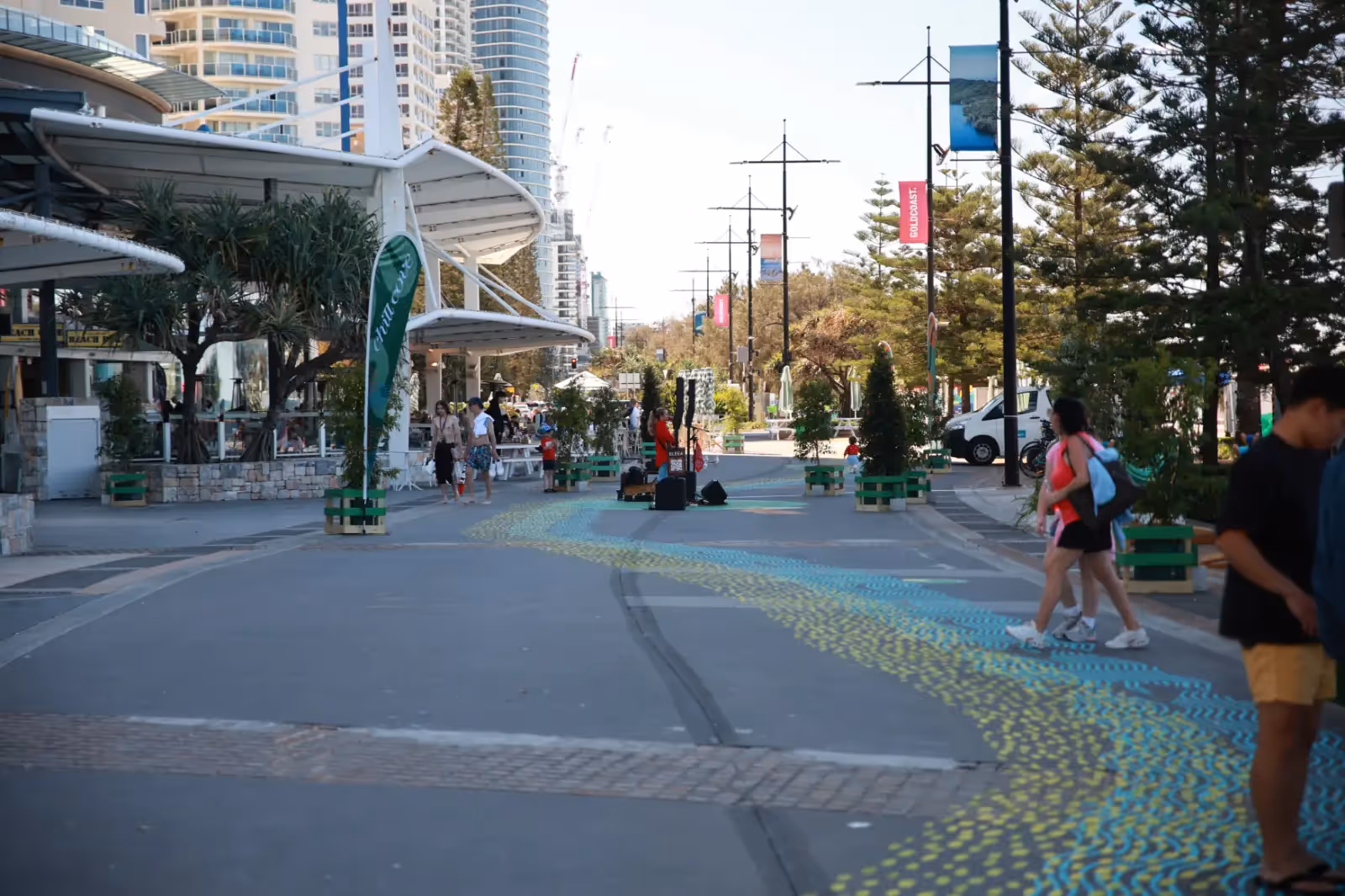
A network reduced to one fragile lane. Just 60 cars is all it takes to fill Orchid Avenue all the way back through Cavill Avenue to the Boulevard. Surfers Paradise has no 9 to 5 daily grind or office worker "peak hour". Peak times are sunny days, weekends, summer holidays and events – when the marketing has worked.
Urban road networks work best when circulation is spread across multiple routes. Surfers Paradise originally had three north–south arteries:
- Ferny Avenue (the Gold Coast Highway): a multi-lane corridor carrying through-traffic and regional flow.
- Surfers Paradise Boulevard: once a broad north–south route through the heart of town.
- The Esplanade: the eastern spine serving the high-rise beachfront strip.
That balance has already been eroded. The Boulevard is no longer a through-route; it has been reduced to a single southbound lane to accommodate the light rail. The Highway is often at capacity, carrying heavy volumes of traffic passing through Surfers. That leaves Orchid Avenue as the only northbound alternative — a narrow, single lane street that passes through the most densely populated hotel and entertainment precinct in the city.
The net result, everything is harder to do. The streets are more dangerous. Pleasure time is spent bumper to bumper. Options are reudced.
Added danger
Relying on Orchid Avenue for northbound circulation is not just inefficient, it is dangerous:
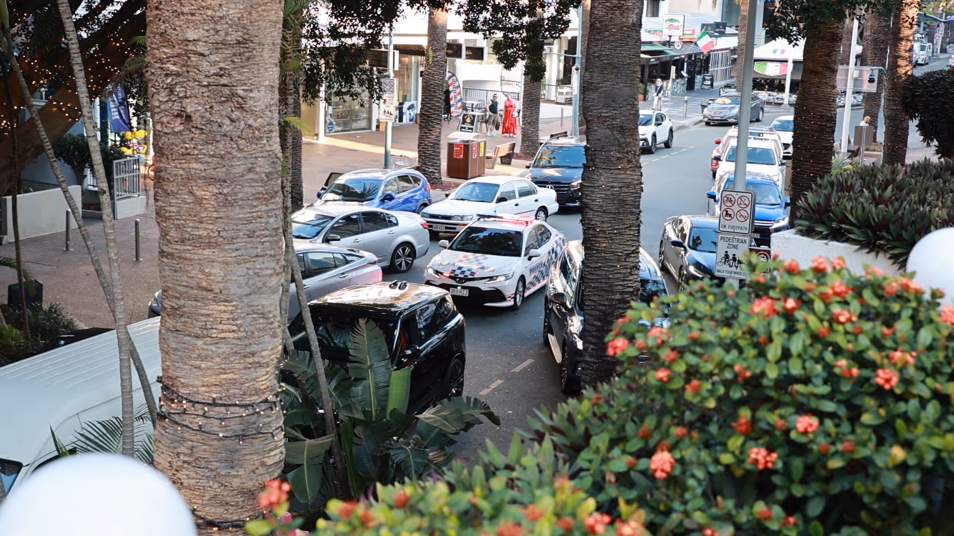
- The police station on Orchid Avenue frequently finds officers trapped in traffic while responding to emergencies, with sirens wailing throughout the day and night.
- Recently, a tram derailment jammed the city for most of the day, demonstrating how quickly incidents on limited routes can paralyse circulation.
- During a fire scare at an apartment tower, firefighters had to proceed on foot because their two fire engines were stuck in traffic just half a block away.
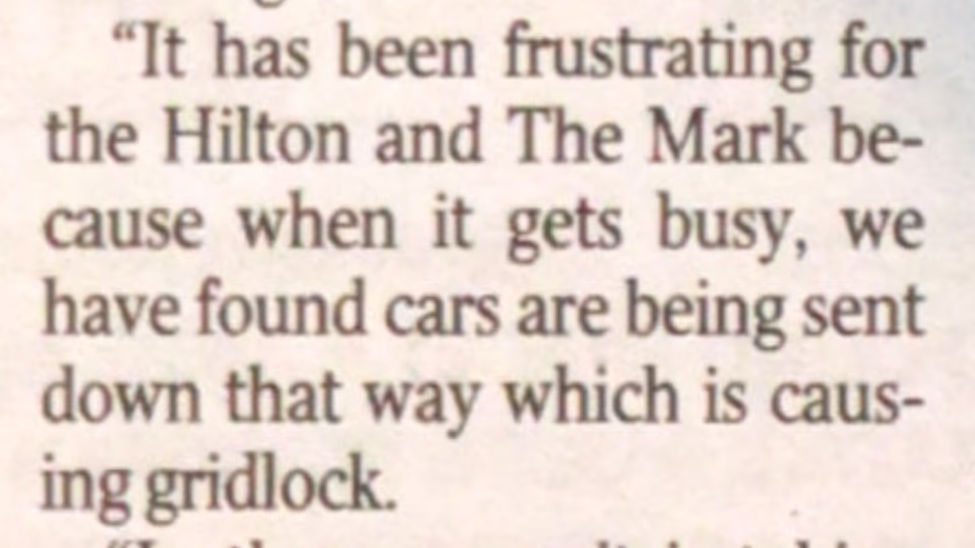
- Just last year, the Hilton Hotel’s rooftop caught fire, again highlighting the challenges emergency services face in a city full of high rise towers with constrained north–south access.
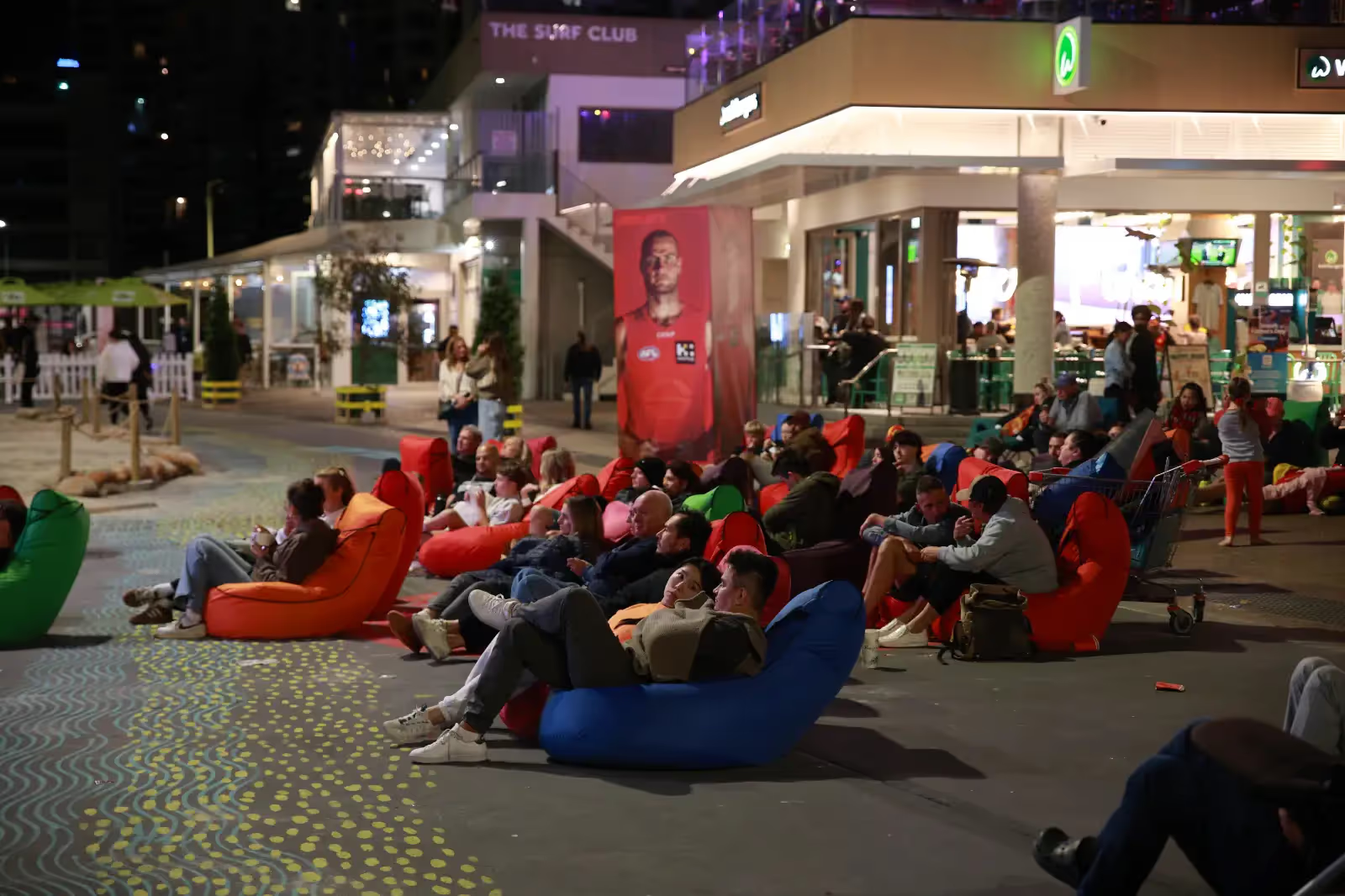
- This isn’t just about inconvenience — it is about safety. The Council’s own Road Safety Plan (2015–2020) confirms that 50% of serious pedestrian crashes in Surfers Paradise occur at night between 8pm and 6am, and 35% occur specifically on Friday and Saturday nights — night time on the weekends. Orchid Avenue is the premier nightlife strip, crowded with pedestrians now with directly increased risk.

Orchid Avenue and the surrounding network simply cannot safely absorb the traffic displaced from a closed Esplanade. By cutting the Esplanade, Surfers Paradise would be left with a single, fragile north–south corridor for local circulation — a structural failure that threatens public safety as well as daily life.

Peak times - in a holiday destination
It has been stated by Council representatives that the traffic problems have been caused by Google Maps sending people the wrong way and that it is only really a problem during "busy times". There are many things wrong with those sentiments. Navigation apps are aware of traffic congestion in real time. If they are the reason, its because it is the quickest or only route. To suggest it is caused by the navigation app seems to imply a lack of insight into how navigation apps and our city works.
Surfers Paradise has a fundamentally different rythym to any other urban centre. There is no office worker 9 to 5 crush. No daily grind. Our peak times are when there is a sudden rush of visitors and tourists. Like Friday and Saturday nights, Summer holidays, long weekends, a sunny day, an event or when the marketing has worked.
250 cars is all it takes to clog the entire Elkhorn, Orchid, Cavill, Boulevard quadrangle. An awards night at the Hilton could do it. The road network is now designed to fail at the moment our customers arrive.
The principle at stake
The principle is simple: successful pedestrianisation works when it concentrates activity where commerce already thrives — as Cavill Mall does. But when pedestrianisation overrides a structural circulation route, it undermines the very system the city relies on.
Surfers Paradise doesn’t just need revitalisation — it deserves it. But real revitalisation builds on the city’s foundations, not against them. The Esplanade is not just a road to be sketched over; it is the backbone of Surfers Paradise’s urban form, its economy and its daily life. To undermine it is to weaken the city itself.
Malling the Esplanade is not a bold vision. It is a structural failure in the making — a concept that fails the city.

What can you do?
Go to the Actions and Contacts Page
Call, write or take a survey, we provide links and resources to make it easy for you to have your opinion heard.